
Delhi Introduces ‘Bhu-Aadhaar’ to Assign Unique 14-Digit ID to Every Land Parcel
The Delhi government rolls out Bhu-Aadhaar under ULPIN, using drone surveys and geo-mapping to assign every land parcel a unique digital identity, aiming to modernize land records and reduce disputes.
-
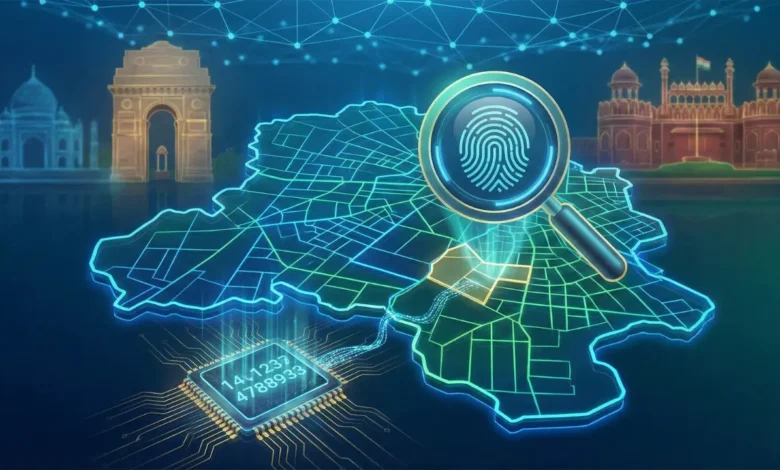
Every land parcel to receive a geo-referenced 14-digit identification number
-
Drone surveys and high-resolution imaging to create digital land maps
-
System aims to reduce disputes, ease property verification, and improve transparency
Delhi government has announced the rollout of ‘Bhu-Aadhaar’, a system that will assign a unique 14-digit identification number to every land parcel in the national capital.
The initiative is part of the Unique Land Parcel Identification Number (ULPIN) programme, designed to streamline land records and create a transparent, standardized property identification system across the city.
What is Bhu-Aadhaar?
Under Bhu-Aadhaar, each land parcel will be given a geo-referenced alphanumeric code, similar in concept to Aadhaar for individuals. This code will act as a single, verifiable reference point for ownership, location, and size of a property.
The move is expected to significantly reduce boundary-related disputes, eliminate duplicate registrations, and simplify property verification for citizens and authorities alike.
How Will It Work?
To build the system, the government will prepare a detailed digital land map using drone surveys and high-resolution ortho-imaging. Around 2 terabytes of geospatial data are being processed to accurately map parcels across Delhi.
The implementation is being carried out by the IT branch of the Revenue Department, with technical support from the Survey of India. The rollout will follow a phased standard operating procedure (SOP), with defined timelines. Notably, 48 villages already covered under the SVAMITVA scheme are part of the broader integration plan.
Why It Matters
Land disputes in urban areas often arise due to unclear demarcation, outdated records, or overlapping claims. By geo-tagging each parcel and linking it to a unique number, the government aims to bring clarity and accountability into the system.
ULPIN will not just record the parcel’s location through latitude and longitude but may also include ownership details and plot size. This integrated data structure is expected to:
-
Simplify real estate transactions
-
Improve property taxation systems
-
Assist in disaster planning and response
-
Enable better identification of beneficiaries under land-based welfare schemes
Boost to Land Management
Officials believe the system will strengthen land accounting and statistics, paving the way for structured land banks and eventually contributing to an Integrated Land Information Management System (ILIMS).
For property owners, the introduction of Bhu-Aadhaar could mean faster verification processes, reduced paperwork, and fewer legal complications. For the government, it marks a shift toward a tech-driven, transparent land governance framework.
With this initiative, Delhi joins the growing list of regions adopting digital land identification systems to modernize administration and reduce long-standing property disputes.
Also Read: Gauri Khan Restores 1933 Dalhousie Estate into Luxury Retreat Priced at ₹1.2 Lakh Per Night
Also Read: DDA Extends Premium Housing Scheme 2026 Deadline to February 20